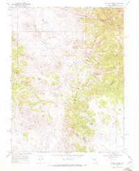
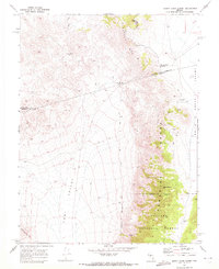
1969 Map of Buffalo Summit
USGS Topo · Published 1972About this map
Buffalo Hump Mine and the Highland Mine sit among the high elevations of the Desatoya Mountains in this late-1960s survey. The landscape is defined by its extreme topography, rising from the basin to reach significant heights at Buffalo Mtn and Buffalo Summit. Water resources in this arid environment are sparse, marked by essential points like Big Buffalo Well and Little Buffalo Well along the drainage of Buffalo Creek.
Find a feature on this map
14 named features on this map. Tap any name to fly to it.
Don’t see what you’re looking for? This feature index may not catch every label — zoom into the map to look around manually.
Map Details
Editions of this 1969 Buffalo Summit Map
2 editions found
Other maps of this area

1955 · Millett
USGS Topo · 1:250,000

1956 · South Shoshone Peak
USGS Topo · 1:62,500

1959 · Millett
USGS Topo · 1:250,000
1969 · Quartz Mtn
USGS Topo · 1:24,000
1969 · Quartzite Mtn NW
USGS Topo · 1:24,000

1969 · Desatoya Peak
USGS Topo · 1:24,000

1969 · Carroll Summit
USGS Topo · 1:24,000

1969 · Eastgate
USGS Topo · 1:24,000
1969 · Burnt Cabin Summit
USGS Topo · 1:24,000

1985 · Smith Creek Valley
USGS Topo · 1:100,000