
1969 Map of Carroll Summit
USGS Topo · Published 1972About this map
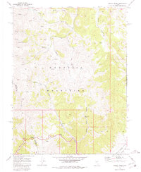
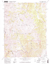
The Desatoya Mountains dominate this high-altitude landscape along the border of Churchill and Lander Counties. This 1969 field survey details a remote Great Basin environment defined by steep drainages and seasonal water sources. Central to the map is Carroll Summit, a critical passage through the range, accompanied by a network of primitive roads and Jeep Trails that provided access for ranching or prospecting.
Find a feature on this map
23 named features on this map. Tap any name to fly to it.
Don’t see what you’re looking for? This feature index may not catch every label — zoom into the map to look around manually.
Map Details
Editions of this 1969 Carroll Summit Map
3 editions found
Other maps of this area

1955 · Millett
USGS Topo · 1:250,000

1956 · South Shoshone Peak
USGS Topo · 1:62,500

1959 · Millett
USGS Topo · 1:250,000

1969 · Cold Springs
USGS Topo · 1:24,000

1969 · Desatoya Peak
USGS Topo · 1:24,000

1969 · Carroll Summit NE
USGS Topo · 1:24,000

1969 · Basque Summit
USGS Topo · 1:24,000
1969 · Carroll Summit SE
USGS Topo · 1:24,000
1969 · Buffalo Summit
USGS Topo · 1:24,000

1985 · Smith Creek Valley
USGS Topo · 1:100,000