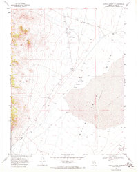
1969 Map of Carroll Summit SE
USGS Topo · Published 1972About this map
Smith Creek Valley dominates this high-desert landscape in Lander County during the late 1960s, a region defined by its wide depressions and seasonal watercourses. The presence of the Old Overland Road cutting through the northern reaches of the quadrangle speaks to the historical transit routes that once traversed this arid basin. This era shows a landscape managed for cattle and early aviation, centered around landmarks like the Old Hay Ranch and a remote Landing Field.
Find a feature on this map
19 named features on this map. Tap any name to fly to it.
Don’t see what you’re looking for? This feature index may not catch every label — zoom into the map to look around manually.
Map Details
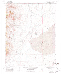
Editions of this 1969 Carroll Summit SE Map
2 editions found
Other maps of this area

1955 · Millett
USGS Topo · 1:250,000

1956 · South Shoshone Peak
USGS Topo · 1:62,500

1956 · North Shoshone Peak
USGS Topo · 1:62,500

1959 · Millett
USGS Topo · 1:250,000

1969 · Emigrant Peak
USGS Topo · 1:24,000

1969 · Carroll Summit NE
USGS Topo · 1:24,000

1969 · Carroll Summit
USGS Topo · 1:24,000

1969 · Basque Summit
USGS Topo · 1:24,000

1969 · Iron Mountain
USGS Topo · 1:24,000

1985 · Smith Creek Valley
USGS Topo · 1:100,000