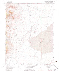
1969 Map of Carroll Summit SE
USGS Topo · Published 1984About this map
The Old Overland Road cuts across the northern basin of this Lander County landscape, marking a historic corridor through the high Nevada desert. Grounded in a 1969 survey, the map reveals a remote environment where water and transit define human activity. Several thermal features, including Hot Springs and smaller Springs, emerge near the base of the mountains, while the sprawling Smith Creek (Depression) dominates the central valley. Small-scale infrastructure like the Landing Field and a remote Landing Strip illustrate the necessity of air travel in this isolated region. For the local historian, the presence of the Old Hay Ranch and various Gravel Pits provides clues to the early ranching and road-building efforts that sustained life along Smith Creek and Campbell Creek during the mid-twentieth century.
Find a feature on this map
18 named features on this map. Tap any name to fly to it.
Don’t see what you’re looking for? This feature index may not catch every label — zoom into the map to look around manually.
Map Details
Editions of this 1969 Carroll Summit SE Map
2 editions found
Other maps of this area

1955 · Millett
USGS Topo · 1:250,000

1956 · South Shoshone Peak
USGS Topo · 1:62,500

1956 · North Shoshone Peak
USGS Topo · 1:62,500

1959 · Millett
USGS Topo · 1:250,000

1969 · Emigrant Peak
USGS Topo · 1:24,000

1969 · Carroll Summit NE
USGS Topo · 1:24,000

1969 · Carroll Summit
USGS Topo · 1:24,000

1969 · Basque Summit
USGS Topo · 1:24,000

1969 · Iron Mountain
USGS Topo · 1:24,000
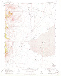
1969 · Carroll Summit SE
USGS Topo · 1:24,000