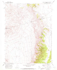
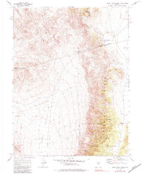
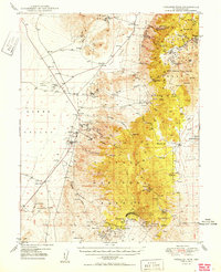
1969 Map of Burnt Cabin Summit
USGS Topo · Published 1972About this map
Mining operations and historical campsites define the landscape where the Paradise Range meets the Smith Creek Valley. In the late 1960s, the terrain was marked by active and former extraction sites, including the Phonolite Mine, Bruner Mine, and Penelas Mine, complete with associated Tailings and Ruins. These sites are concentrated along the eastern slopes of the mountains, which transition into the protected lands of the Toiyabe National Forest.
Find a feature on this map
24 named features on this map. Tap any name to fly to it.
Don’t see what you’re looking for? This feature index may not catch every label — zoom into the map to look around manually.
Map Details
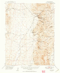
Editions of this 1969 Burnt Cabin Summit Map
2 editions found
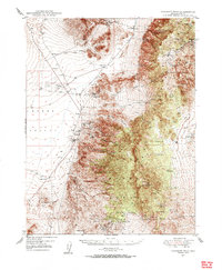
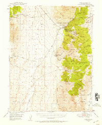
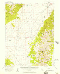
Other maps of this area

1907 · Tonopah
USGS Topo · 1:250,000

1908 · Tonopah
USGS Topo · 1:250,000
1948 · Paradise Peak
USGS Topo · 1:62,500
1948 · Ione
USGS Topo · 1:62,500
1950 · Paradise Peak
USGS Topo · 1:62,500
1950 · Ione
USGS Topo · 1:62,500

1955 · Millett
USGS Topo · 1:250,000
1956 · South Shoshone Peak
USGS Topo · 1:62,500

1956 · Tonopah
USGS Topo · 1:250,000

1959 · Tonopah
USGS Topo · 1:250,000