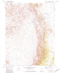
1969 Map of Burnt Cabin Summit
USGS Topo · Published 1984About this map
The Paradise Range and Desatoya Mountains converge in this high-desert landscape, where three Nevada counties—Churchill, Lander, and Nye—meet at a single point. Mining activity is the primary human imprint on these slopes, centered around the Phonolite area and the Bruner Mine. Evidence of past industry and habitation is scattered across the dry terrain, including ruins, tailings, and the Phonolite Mine.
Find a feature on this map
28 named features on this map. Tap any name to fly to it.
Don’t see what you’re looking for? This feature index may not catch every label — zoom into the map to look around manually.
Map Details
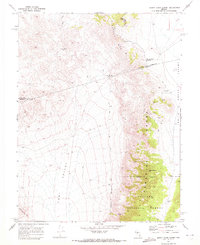
Editions of this 1969 Burnt Cabin Summit Map
2 editions found
Other maps of this area

1907 · Tonopah
USGS Topo · 1:250,000

1908 · Tonopah
USGS Topo · 1:250,000

1948 · Paradise Peak
USGS Topo · 1:62,500

1948 · Ione
USGS Topo · 1:62,500

1950 · Paradise Peak
USGS Topo · 1:62,500

1950 · Ione
USGS Topo · 1:62,500

1955 · Millett
USGS Topo · 1:250,000

1956 · South Shoshone Peak
USGS Topo · 1:62,500

1956 · Tonopah
USGS Topo · 1:250,000

1959 · Tonopah
USGS Topo · 1:250,000