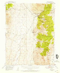
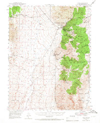
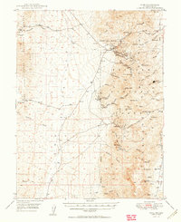
1948 Map of Ione
USGS Topo · Published 1956About this map
Mining activity and rugged central Nevada terrain characterize this survey, with the Toiyabe National Forest spanning the eastern high ground. The settlements of Ione, Berlin, and Grantsville serve as anchors for the local district, which is heavily marked by late-19th and early-20th-century extraction efforts. Significant sites include the Nevada Cinnabar Mine, the Shamrock Mine, and the Kohinoor Mine, along with various Shamrock Diggings found near the mountain peaks. The landscape is a network of canyons and springs, such as Union Canyon and Ione Spring, which were vital for sustaining the small communities and industrial operations in this arid environment. Ranching interests are represented by the Milton Ranch and Spanish Ranch, while a lone Cem near Grantsville provides a point of interest for genealogists tracking early residents of these high-altitude mining camps.
Find a feature on this map
53 named features on this map. Tap any name to fly to it.
Don’t see what you’re looking for? This feature index may not catch every label — zoom into the map to look around manually.
Map Details
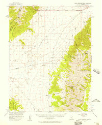
Editions of this 1948 Ione Map
2 editions found
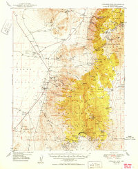
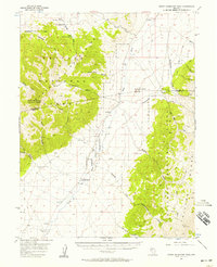
Other maps of this area

1907 · Tonopah
USGS Topo · 1:250,000

1908 · Tonopah
USGS Topo · 1:250,000
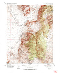
1948 · Paradise Peak
USGS Topo · 1:62,500
1950 · Paradise Peak
USGS Topo · 1:62,500
1950 · Ione
USGS Topo · 1:62,500

1955 · Millett
USGS Topo · 1:250,000
1956 · South Shoshone Peak
USGS Topo · 1:62,500
1956 · North Shoshone Peak
USGS Topo · 1:62,500

1956 · Tonopah
USGS Topo · 1:250,000

1959 · Tonopah
USGS Topo · 1:250,000