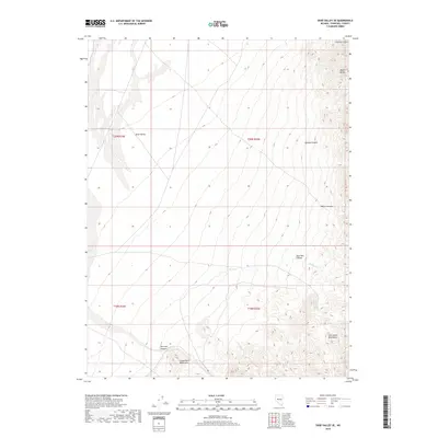
2018 Map of Dixie Valley SE
USGS Topo · Published 2018About this map
Louderback Mountains and the northern reaches of the Clan Alpine Mountains define this high-desert landscape in Churchill County. This area is characterized by a series of prominent drainage systems and peaks, including Black Butte in the northeast and the expansive Dixie Valley floor to the west. The topography is etched by numerous natural corridors such as Hercules Canyon and Sage Hen Canyon, which serve as vital landmarks for those navigating the arid terrain. Seasonal water features like Horse Cr and Sagehen Cr illustrate the drainage patterns flowing from the high ridges toward the valley sinks. The lack of modern infrastructure highlighted in this 2018 survey emphasizes the enduring isolation of this part of Nevada, where the network of canyons like Paiute Canyon and Dummy Canyon remains the primary geographical framework.
Find a feature on this map
15 named features on this map. Tap any name to fly to it.
Don’t see what you’re looking for? This feature index may not catch every label — zoom into the map to look around manually.
Map Details
Editions of this 2018 Dixie Valley SE Map
This is the sole edition of this map. No revisions or reprints were ever made.
Other maps of this area

1908 · Carson Sink
USGS Topo · 1:250,000

1910 · Carson Sink
USGS Topo · 1:250,000

1955 · Millett
USGS Topo · 1:250,000

1957 · Reno
USGS Topo · 1:250,000

1959 · Reno
USGS Topo · 1:250,000

1959 · Millett
USGS Topo · 1:250,000

1960 · Reno
USGS Topo · 1:250,000

1966 · Clan Alpine Ranch
USGS Topo · 1:62,500

1969 · Camp Creek Canyon
USGS Topo · 1:24,000

1972 · Pirouette Mtn
USGS Topo · 1:24,000