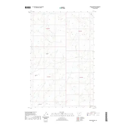
2020 Map of Dodge Reservoir
USGS Topo · Published 2020About this map
Dodge Reservoir and the drainage network of Willow Cr define this section of Valley County, where the topography of the northern plains is broken by a series of long coulees. This map reveals a landscape managed for water and passage, featuring the W Fork Willow Cr and the southern reaches of Deep Cr. The terrain is characterized by broad high ground such as Wild Horse Flat and Kansas Flats, punctuated by the carved paths of Lone Tree Coulee and Shaw Coulee. This 2020 survey documents the modern infrastructure of the region, from the remote E Fork Trl to the route of Theony Rd in the northeast corner. It remains a portrait of an open, ranching-oriented landscape where traditional natural landmarks still provide the primary points of orientation.
Find a feature on this map
14 named features on this map. Tap any name to fly to it.
Don’t see what you’re looking for? This feature index may not catch every label — zoom into the map to look around manually.
Map Details
Editions of this 2020 Dodge Reservoir Map
This is the sole edition of this map. No revisions or reprints were ever made.
Other maps of this area

1919 · Boundary
USGS Topo · 1:125,000

1954 · Glasgow
USGS Topo · 1:250,000

1957 · Glasgow
USGS Topo · 1:250,000

1958 · Glasgow
USGS Topo · 1:250,000

1984 · O'Juel Lake
USGS Topo · 1:24,000

1984 · Lighthouse Hill
USGS Topo · 1:24,000

1984 · Opheim
USGS Topo · 1:100,000

1984 · Gay Dam
USGS Topo · 1:24,000

1984 · Dodge Reservoir
USGS Topo · 1:24,000

1984 · Last Chance Reservoir
USGS Topo · 1:24,000