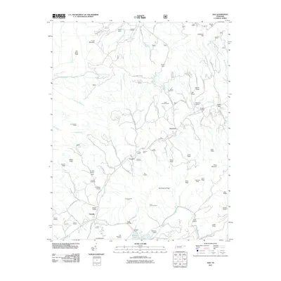
2011 Map of Doe
USGS Topo · Published 2011About this map
Pandora and Damascus sit within a landscape defined by the rugged ridges of Cross Mountain and Old Road Ridge during this 2011 survey of Johnson County. The topography is marked by a dense concentration of mineral extraction sites, including the Doe Valley Mine, Campbell Mine, and numerous prospects like the Blackburn Prospect and Grindstaff Prospect. These features speak to a legacy of small-scale mining and resource exploration that once shaped the local economy.
Find a feature on this map
84 named features on this map. Tap any name to fly to it.
Don’t see what you’re looking for? This feature index may not catch every label — zoom into the map to look around manually.
Map Details
Editions of this 2011 Doe Map
This is the sole edition of this map. No revisions or reprints were ever made.
Other maps of this area

1891 · Roan Mountain
USGS Topo · 1:125,000

1891 · Abingdon
USGS Topo · 1:125,000

1893 · Cranberry
USGS Topo · 1:125,000

1894 · Roan Mountain
USGS Topo · 1:125,000

1894 · Abingdon
USGS Topo · 1:125,000

1895 · Cranberry
USGS Topo · 1:125,000

1897 · Bristol
USGS Topo · 1:125,000

1899 · Cranberry
USGS Topo · 1:125,000

1902 · Bristol
USGS Topo · 1:125,000

1902 · Cranberry
USGS Topo · 1:125,000