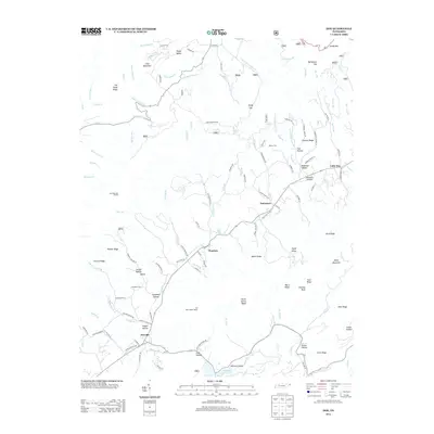
2013 Map of Doe
USGS Topo · Published 2013About this map
Damascus and Doeville anchor this portion of Johnson County, where the terrain is defined by the steep rises of Cross Mountain and Merry Mountain. The map reveals a landscape of family-named hollows and ridges, such as Robinson Hollow and Charley Ridge, which speak to the long-standing community roots in this region. Settlement patterns follow the winding paths of Doe Cr and the various forks of Beaverdam Cr, with small communities like Pandora and Little Doe situated along historical routes including the Stage Coach Loop and Old Stage Rd.
Find a feature on this map
130 named features on this map. Tap any name to fly to it.
Don’t see what you’re looking for? This feature index may not catch every label — zoom into the map to look around manually.
Map Details
Editions of this 2013 Doe Map
This is the sole edition of this map. No revisions or reprints were ever made.
Other maps of this area

1891 · Roan Mountain
USGS Topo · 1:125,000

1891 · Abingdon
USGS Topo · 1:125,000

1893 · Cranberry
USGS Topo · 1:125,000

1894 · Roan Mountain
USGS Topo · 1:125,000

1894 · Abingdon
USGS Topo · 1:125,000

1895 · Cranberry
USGS Topo · 1:125,000

1897 · Bristol
USGS Topo · 1:125,000

1899 · Cranberry
USGS Topo · 1:125,000

1902 · Bristol
USGS Topo · 1:125,000

1902 · Cranberry
USGS Topo · 1:125,000