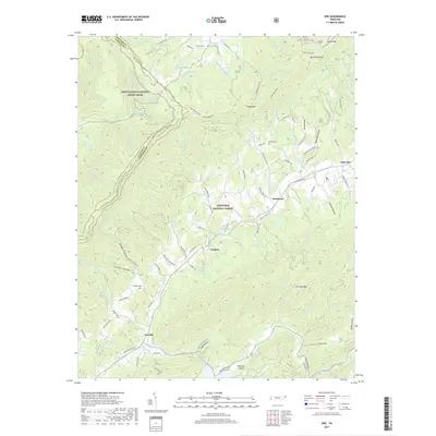
2019 Map of Doe
USGS Topo · Published 2019About this map
Iron Mountain dominates the landscape of this corner of northeast Tennessee, forming a prominent ridge that defines the boundary between Carter and Johnson Counties. This high-elevation terrain is preserved within the Cherokee National Forest, with the Appalachian National Scenic Trail winding across the crest and descending into the valleys. The map illustrates a rural network of small mountain settlements including Damascus, Shady Valley, and Doeville, where life follows the paths of the many branches and creeks that feed into Roan Creek.
Find a feature on this map
117 named features on this map. Tap any name to fly to it.
Don’t see what you’re looking for? This feature index may not catch every label — zoom into the map to look around manually.
Map Details
Editions of this 2019 Doe Map
This is the sole edition of this map. No revisions or reprints were ever made.
Other maps of this area

1891 · Roan Mountain
USGS Topo · 1:125,000

1891 · Abingdon
USGS Topo · 1:125,000

1893 · Cranberry
USGS Topo · 1:125,000

1894 · Roan Mountain
USGS Topo · 1:125,000

1894 · Abingdon
USGS Topo · 1:125,000

1895 · Cranberry
USGS Topo · 1:125,000

1897 · Bristol
USGS Topo · 1:125,000

1899 · Cranberry
USGS Topo · 1:125,000

1902 · Bristol
USGS Topo · 1:125,000

1902 · Cranberry
USGS Topo · 1:125,000