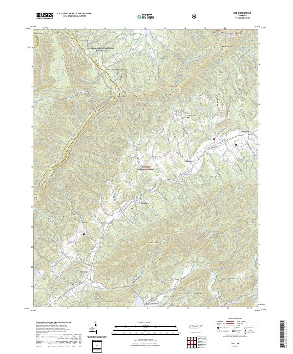
2022 Map of Doe
USGS Topo · Published 2022About this map
Cherokee National Forest dominates this landscape along the border of Carter and Johnson Counties, where high ridges and narrow creek valleys define the local settlement patterns. Small communities like Doeville, Pandora, and Damascus are connected by a network of historic mountain routes, including Old Stage Rd and Old Butler Rd. The topography is marked by several significant peaks, most notably Holston Mtn, Iron Mountain, and Doe Mtn, which frame the high-elevation basin of Shady Valley. The Appalachian National Scenic Trail traverses the western ridgeline, following the crest of Old Road Ridge and Cross Mtn. Genealogists will find numerous family-named landmarks and resting places, such as the William Fleeman Cem, Campbell Cem, and the Rock Springs Baptist Church Cem near Roan Creek.
Find a feature on this map
96 named features on this map. Tap any name to fly to it.
Don’t see what you’re looking for? This feature index may not catch every label — zoom into the map to look around manually.
Map Details
Editions of this 2022 Doe Map
This is the sole edition of this map. No revisions or reprints were ever made.
Other maps of this area

1891 · Roan Mountain
USGS Topo · 1:125,000

1891 · Abingdon
USGS Topo · 1:125,000

1893 · Cranberry
USGS Topo · 1:125,000

1894 · Roan Mountain
USGS Topo · 1:125,000

1894 · Abingdon
USGS Topo · 1:125,000

1895 · Cranberry
USGS Topo · 1:125,000

1897 · Bristol
USGS Topo · 1:125,000

1899 · Cranberry
USGS Topo · 1:125,000

1902 · Bristol
USGS Topo · 1:125,000

1902 · Cranberry
USGS Topo · 1:125,000