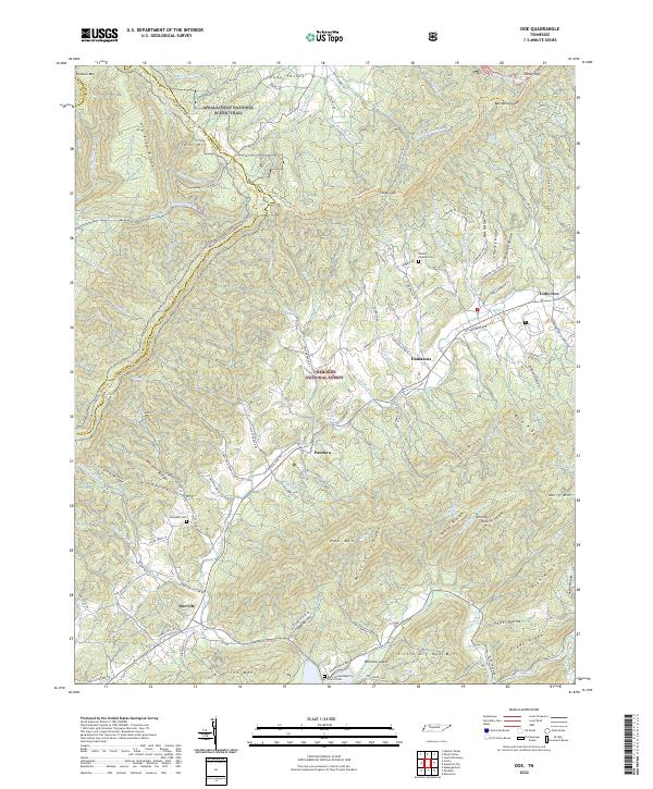
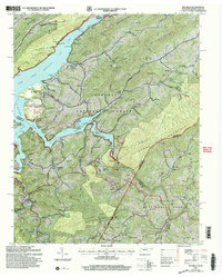
2022 Map of Doe
USGS Topo · Published 2022This historical map portrays the area of Doe in 2022, primarily covering Johnson County as well as portions of Sullivan County and Carter County. Featuring a scale of 1:24000, this map provides a highly detailed snapshot of the terrain, roads, buildings, counties, and historical landmarks in the Doe region at the time. Published in 2022, it is the sole known edition of this map.
Map Details
Editions of this 2022 Doe Map
This is the sole edition of this map. No revisions or reprints were ever made.
Historical Maps of Pandora Through Time
11 maps found
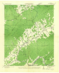
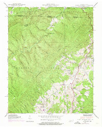
1935 Doe
Johnson County, TN
1935 Laurel Bloomery
Johnson County, TN
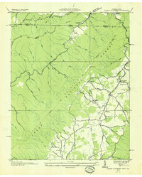
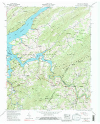
1938 Doe
Johnson County, TN
1938 Laurel Bloomery
Johnson County, TN
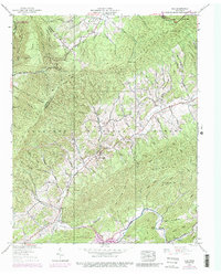
1959 Elk Mills
Johnson County, TN
1994 Elk Mills
Johnson County, TN
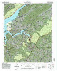
2003 Elk Mills
Johnson County, TN
2022 Doe
Johnson County, TN
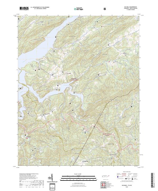
2022 Elk Mills
Johnson County, TN
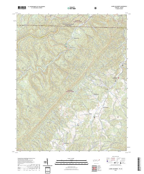
2022 Laurel Bloomery
Johnson County, TN
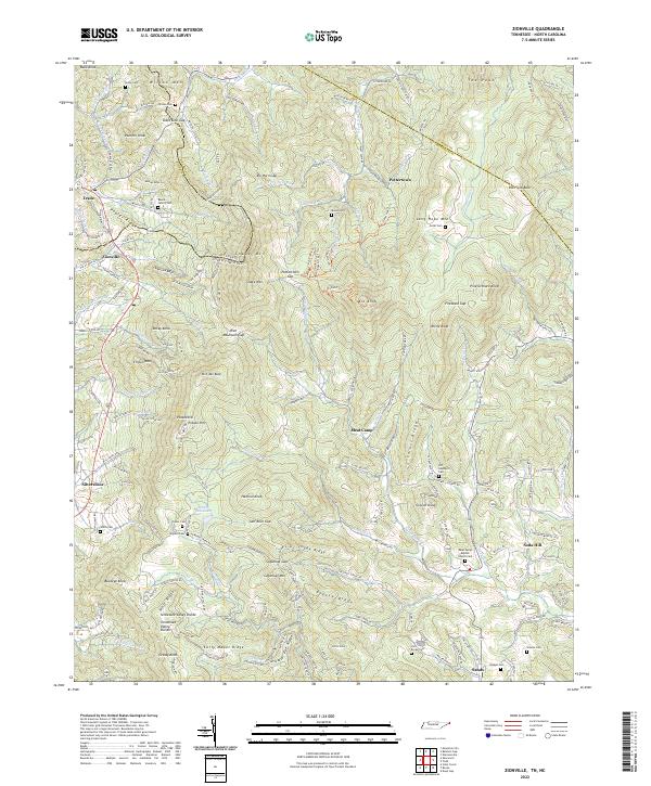
2022 Zionville
Johnson County, TN