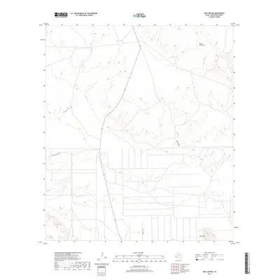
2019 Map of Dog Canyon
USGS Topo · Published 2019About this map
Chalk Mountains and the dramatic incision of Dog Canyon define this arid Brewster County landscape. The map details a transition from the elevated peaks in the north to the lower drainage basins where Terlingua Cr flows through the southwestern corner. Human infrastructure is Sparse, primarily consisting of the long north-south corridor of Route 118 and specialized access routes such as Cowboy Mining Co Rd, reflecting the region's history of mineral exploration and ranching. Water management in this high-desert environment is represented by scattered features like Dewees Tank, while ephemeral drainage patterns are mapped through named watercourses such as Hale Draw. The presence of Black Hill in the southeast provides a distinct topographical anchor for those studying the geological and survey markers of the Big Bend region.
Find a feature on this map
9 named features on this map. Tap any name to fly to it.
Don’t see what you’re looking for? This feature index may not catch every label — zoom into the map to look around manually.
Map Details
Editions of this 2019 Dog Canyon Map
This is the sole edition of this map. No revisions or reprints were ever made.
Other maps of this area

1917 · Agua Fria
USGS Topo · 1:62,500

1917 · Santiago Peak
USGS Topo · 1:62,500

1917 · Buck Hill
USGS Topo · 1:62,500

1918 · Bone Spring
USGS Topo · 1:125,000

1918 · Buck Hill
USGS Topo · 1:62,500

1918 · Santiago Peak
USGS Topo · 1:62,500

1918 · Nine Point Mesa
USGS Topo · 1:62,500

1925 · Buck Hill
USGS Topo · 1:62,500

1937 · Nine Point Mesa
USGS Topo · 1:62,500

1937 · Agua Fria
USGS Topo · 1:62,500