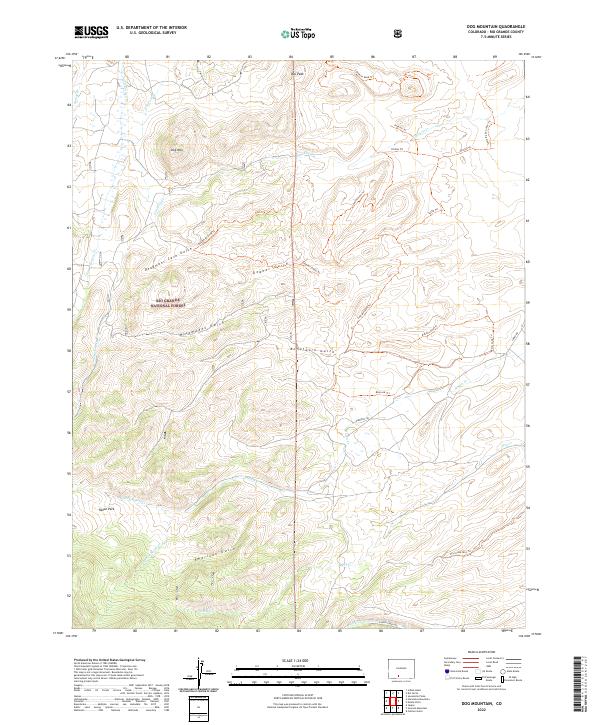
2022 Map of Dog Mountain
USGS Topo · Published 2022About this map
Rio Grande National Forest dominates this landscape, where the southern San Luis Valley meets the rising peaks of the eastern San Juan Mountains. The terrain is defined by a series of dramatic drainages including Deadmans Cave Gulch, Nicomodes Gulch, and American Gulch that carry seasonal waters toward the valley floor. Near the small settlement of Raton Park, the headwaters of Raton Cr diverge into several forks, creating a complex network of riparian corridors. High points such as Dog Mtn and Pup Peak offer vantage points over the numerous trails that crisscross the backcountry, including the Chillax Trl and Loma De San Jose Trl. The map illustrates a modern era of recreational access, where historic ranching routes have been integrated into a system of named paths and forest service roads.
Find a feature on this map
39 named features on this map. Tap any name to fly to it.
Don’t see what you’re looking for? This feature index may not catch every label — zoom into the map to look around manually.
Map Details
Editions of this 2022 Dog Mountain Map
This is the sole edition of this map. No revisions or reprints were ever made.
Other maps of this area

1915 · Del Norte
USGS Topo · 1:125,000

1917 · Del Norte
USGS Topo · 1:125,000

1922 · Conejos
USGS Topo · 1:125,000

1945 · Durango
USGS Topo · 1:250,000

1953 · Durango
USGS Topo · 1:250,000

1954 · Durango
USGS Topo · 1:250,000

1961 · Durango
USGS Topo · 1:250,000

1963 · Durango
USGS Topo · 1:250,000

1964 · Sevenmile Plaza
USGS Topo · 1:24,000

1964 · Monte Vista
USGS Topo · 1:24,000