
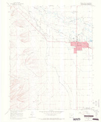
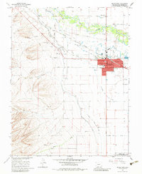
1964 Map of Monte Vista
USGS Topo · Published 1968About this map
The Rio Grande flows through this San Luis Valley landscape, supporting a complex network of irrigation that defines local agriculture. By the mid-1960s, the Monte Vista and Piedra Valley Canal and the Swede and Star Ditch represent a highly engineered approach to water management in the high desert. The city of Monte Vista serves as the regional hub, where the Denver and Rio Grande Western railroad intersects with major transit routes like Gunbarrel Road. Genealogists will find significant value in the documentation of local burial sites, including the San Luis Valley Cem, Monte Vista Cem, and Rock Creek Cem. The map also captures specialized cultural landmarks of the era, such as the Movie Manor Landing Area and a Drive-in Theater, alongside the southern boundaries of the Monte Vista National Wildlife Refuge.
Find a feature on this map
42 named features on this map. Tap any name to fly to it.
Don’t see what you’re looking for? This feature index may not catch every label — zoom into the map to look around manually.
Map Details
Editions of this 1964 Monte Vista Map
3 editions found
Other maps of this area

1915 · Del Norte
USGS Topo · 1:125,000

1917 · Del Norte
USGS Topo · 1:125,000

1922 · Conejos
USGS Topo · 1:125,000

1945 · Durango
USGS Topo · 1:250,000

1953 · Durango
USGS Topo · 1:250,000

1954 · Durango
USGS Topo · 1:250,000

1961 · Durango
USGS Topo · 1:250,000

1963 · Durango
USGS Topo · 1:250,000

1964 · Sevenmile Plaza
USGS Topo · 1:24,000

1966 · Durango
USGS Topo · 1:250,000