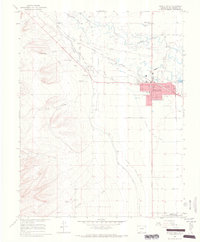
1964 Map of Monte Vista
USGS Topo · Published 1968About this map
The agricultural grid of the San Luis Valley meets the rising foothills of the San Juan Mountains in this mid-1960s survey. The city of Monte Vista serves as the focal point, defined by its strictly organized streets like First Ave and Sixth Ave, and institutional landmarks including St Joseph Sch and the local Hospital. The surrounding landscape is a complex network of water management, where the Monte Vista Canal and Piedra Valley Canal and the Rio Grande and San Luis Canal divert water to sustain the valley's farms.
Find a feature on this map
38 named features on this map. Tap any name to fly to it.
Don’t see what you’re looking for? This feature index may not catch every label — zoom into the map to look around manually.
Map Details
Editions of this 1964 Monte Vista Map
3 editions found
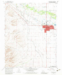
Other maps of this area

1915 · Del Norte
USGS Topo · 1:125,000

1917 · Del Norte
USGS Topo · 1:125,000

1922 · Conejos
USGS Topo · 1:125,000

1945 · Durango
USGS Topo · 1:250,000

1953 · Durango
USGS Topo · 1:250,000

1954 · Durango
USGS Topo · 1:250,000

1961 · Durango
USGS Topo · 1:250,000

1963 · Durango
USGS Topo · 1:250,000

1964 · Sevenmile Plaza
USGS Topo · 1:24,000

1964 · Monte Vista
USGS Topo · 1:24,000