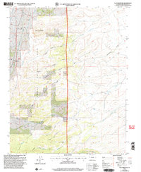
2001 Map of Dog Mountain
USGS Topo · Published 2005About this map
Rio Grande National Forest dominates this high-altitude landscape in southern Colorado, where the terrain is defined by a network of steep drainages and prominent volcanic summits. The area is anchored by Dog Mountain and Pup Peak, with the hydrology shaped by the branching headwaters of Raton Creek, including its North Fork and South Fork. Human interaction with this wilderness is traced through a system of backcountry routes such as the Deadman Loop Trail and the American Trail.
Find a feature on this map
24 named features on this map. Tap any name to fly to it.
Don’t see what you’re looking for? This feature index may not catch every label — zoom into the map to look around manually.
Map Details
Editions of this 2001 Dog Mountain Map
This is the sole edition of this map. No revisions or reprints were ever made.
Other maps of this area

1915 · Del Norte
USGS Topo · 1:125,000

1917 · Del Norte
USGS Topo · 1:125,000

1922 · Conejos
USGS Topo · 1:125,000

1945 · Durango
USGS Topo · 1:250,000

1953 · Durango
USGS Topo · 1:250,000

1954 · Durango
USGS Topo · 1:250,000

1961 · Durango
USGS Topo · 1:250,000

1963 · Durango
USGS Topo · 1:250,000

1964 · Sevenmile Plaza
USGS Topo · 1:24,000

1964 · Monte Vista
USGS Topo · 1:24,000