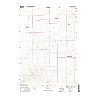
2016 Map of Dolan Spring
USGS Topo · Published 2016About this map
Pawnee National Grassland dominates this high plains landscape in Weld County, where the topography is defined by the ephemeral Sidney Draw and a series of vital water sources. The presence of Sunnyside Cem along the northern section of CO RD 134 provides a specific anchor for genealogical research in this sparsely populated region. These vast grazing lands are interspersed with isolated springs that have served as critical landmarks for generations, including Dolan Spring, Deer Spring, and Willow Spring.
Find a feature on this map
21 named features on this map. Tap any name to fly to it.
Don’t see what you’re looking for? This feature index may not catch every label — zoom into the map to look around manually.
Map Details
Editions of this 2016 Dolan Spring Map
This is the sole edition of this map. No revisions or reprints were ever made.
Other maps of this area

1954 · Sterling
USGS Topo · 1:250,000

1954 · Scottsbluff
USGS Topo · 1:250,000

1954 · Cheyenne
USGS Topo · 1:250,000

1954 · Greeley
USGS Topo · 1:250,000

1957 · Greeley
USGS Topo · 1:250,000

1958 · Cheyenne
USGS Topo · 1:250,000

1958 · Greeley
USGS Topo · 1:250,000

1958 · Scottsbluff
USGS Topo · 1:250,000

1958 · Sterling
USGS Topo · 1:250,000

1961 · Greeley
USGS Topo · 1:250,000