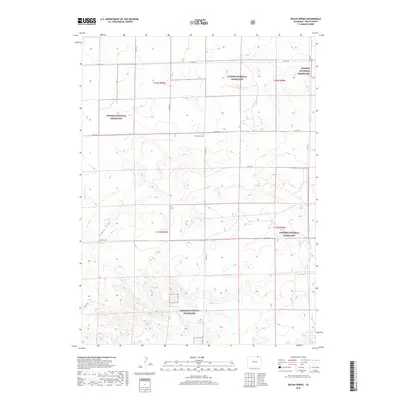
2019 Map of Dolan Spring
USGS Topo · Published 2019About this map
Pawnee National Grassland dominates this high plains landscape in Weld County, where the sprawling public lands are dissected by a network of sectional roads like Co RD 138 and Co RD 119. The map reveals a reliance on isolated water sources in this arid environment, specifically a cluster of natural springs such as Dolan Spring, Hillman Spring, and Willow Spring near the southern edge. The presence of Sunnyside Cem along Co RD 134 serves as a small but significant marker of earlier settlement patterns amidst the grass. This topography is defined by broad, shallow drainage patterns like Sidney Draw, illustrating the subtle variations in elevation that dictate the region's ranching and conservation history. The rigid grid of the Public Land Survey System remains the primary organizing force for human activity across these townships.
Find a feature on this map
21 named features on this map. Tap any name to fly to it.
Don’t see what you’re looking for? This feature index may not catch every label — zoom into the map to look around manually.
Map Details
Editions of this 2019 Dolan Spring Map
This is the sole edition of this map. No revisions or reprints were ever made.
Other maps of this area

1954 · Sterling
USGS Topo · 1:250,000

1954 · Scottsbluff
USGS Topo · 1:250,000

1954 · Cheyenne
USGS Topo · 1:250,000

1954 · Greeley
USGS Topo · 1:250,000

1957 · Greeley
USGS Topo · 1:250,000

1958 · Cheyenne
USGS Topo · 1:250,000

1958 · Greeley
USGS Topo · 1:250,000

1958 · Scottsbluff
USGS Topo · 1:250,000

1958 · Sterling
USGS Topo · 1:250,000

1961 · Greeley
USGS Topo · 1:250,000