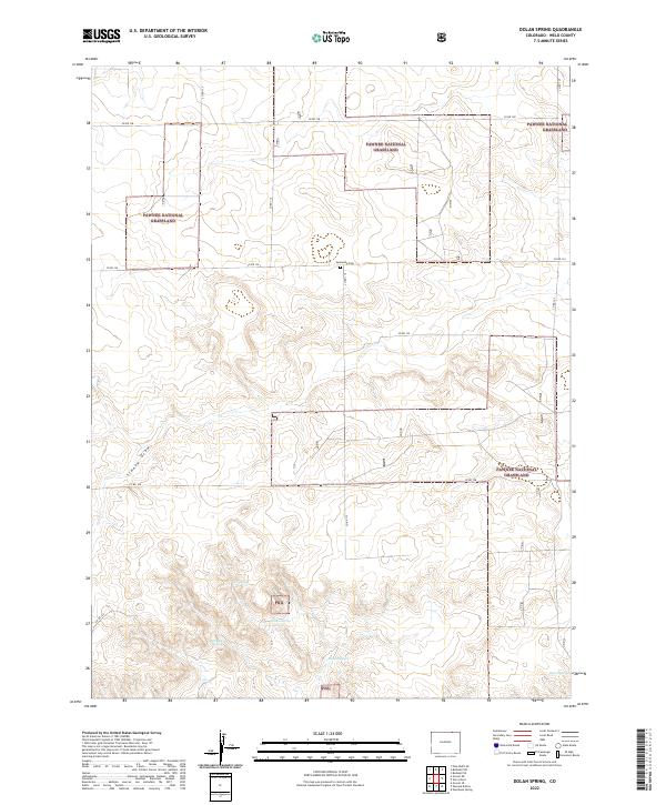
2022 Map of Dolan Spring
USGS Topo · Published 2022About this map
Pawnee National Grassland dominates this corner of Weld County, characterizing a landscape defined by expansive high plains and essential water sources. This 2022 survey reveals a sparse but deliberate network of county roads, such as Co RD 134 and Co RD 128, which grid the terrain to connect isolated landmarks. Significant to local history is the Sunnyside Cem, a lonely marker of early settlement located near the intersection of Co RD 134 and Co RD 119.
Find a feature on this map
21 named features on this map. Tap any name to fly to it.
Don’t see what you’re looking for? This feature index may not catch every label — zoom into the map to look around manually.
Map Details
Editions of this 2022 Dolan Spring Map
This is the sole edition of this map. No revisions or reprints were ever made.
Other maps of this area

1954 · Sterling
USGS Topo · 1:250,000

1954 · Scottsbluff
USGS Topo · 1:250,000

1954 · Cheyenne
USGS Topo · 1:250,000

1954 · Greeley
USGS Topo · 1:250,000

1957 · Greeley
USGS Topo · 1:250,000

1958 · Cheyenne
USGS Topo · 1:250,000

1958 · Greeley
USGS Topo · 1:250,000

1958 · Scottsbluff
USGS Topo · 1:250,000

1958 · Sterling
USGS Topo · 1:250,000

1961 · Greeley
USGS Topo · 1:250,000