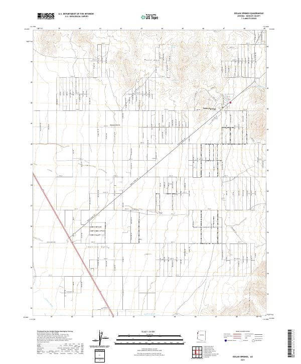
2021 Map of Dolan Springs
USGS Topo · Published 2021About this map
Dolan Springs serves as the focal point of this high-desert landscape in Mohave County, where residential development meets the arid expanses of the Mojave Desert. The map documents a structured grid of named streets and avenues, such as W Taylor Ave and Pierce Ferry Rd, that cut through the transition between the White Hills to the north and the northern edges of the Cerbat Mountains to the south.
Find a feature on this map
125 named features on this map. Tap any name to fly to it.
Don’t see what you’re looking for? This feature index may not catch every label — zoom into the map to look around manually.
Map Details
Editions of this 2021 Dolan Springs Map
This is the sole edition of this map. No revisions or reprints were ever made.
Other maps of this area
1886 · Camp Mohave
USGS Topo · 1:250,000
1892 · Camp Mohave
USGS Topo · 1:250,000
1939 · Chloride
USGS Topo · 1:48,000
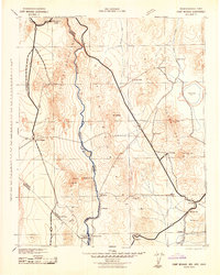
1942 · Camp Mohave
USGS Topo · 1:250,000
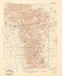
1944 · Chloride
USGS Topo · 1:62,500
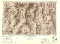
1947 · Kingman
USGS Topo · 1:250,000
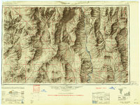
1948 · Kingman
USGS Topo · 1:250,000
1954 · Kingman
USGS Topo · 1:250,000
1955 · Kingman
USGS Topo · 1:250,000
1958 · Kingman
USGS Topo · 1:250,000