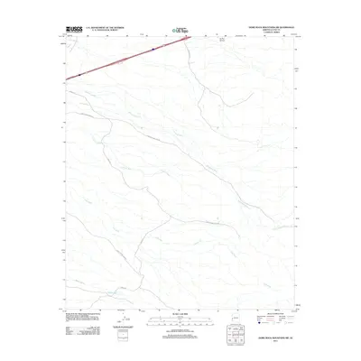
2011 Map of Dome Rock Mountains SW
USGS Topo · Published 2011About this map
Yuma Proving Ground occupies a significant portion of this landscape in La Paz County, highlighting the region's long-standing connection to military testing and desert operations. The terrain is defined by an intricate network of drainage systems that flow through the arid basin, including the prominent Ehrenberg Wash and the branching paths of Lake Wash and Limekiln Wash. These ephemeral watercourses illustrate the natural hydrological patterns of the Dome Rock Mountains' southwestern slopes. Overland travel in this desert environment is facilitated by historic desert routes such as Cibola Rd and Tom Wells Rd, which intersect the dry beds of La Paz Arroyo and Weaver Wash. The map documents a sparsely settled but strategically important corner of the Arizona desert, where rugged topography meets federal military land use.
Find a feature on this map
8 named features on this map. Tap any name to fly to it.
Don’t see what you’re looking for? This feature index may not catch every label — zoom into the map to look around manually.
Map Details
Editions of this 2011 Dome Rock Mountains SW Map
This is the sole edition of this map. No revisions or reprints were ever made.
Other maps of this area

1933 · Cunningham Mtn
USGS Topo · 1:48,000

1934 · Trigo Peaks
USGS Topo · 1:48,000

1939 · Trigo Peaks
USGS Topo · 1:62,500

1940 · Dome Rock Mts
USGS Topo · 1:62,500

1942 · Blythe
USGS Topo · 1:250,000

1945 · Cibola
USGS Topo · 1:62,500

1951 · Blythe
USGS Topo · 1:24,000

1951 · Blythe NE
USGS Topo · 1:24,000

1951 · Cibola
USGS Topo · 1:62,500

1952 · Mule Wash
USGS Topo · 1:24,000