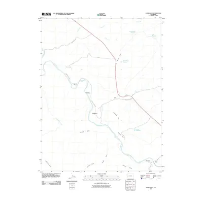
2010 Map of Dominguez
USGS Topo · Published 2010About this map
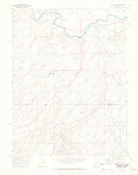
The Gunnison River carves a deep path through the high desert of Delta County, dictating the placement of early ranching and railroad outposts in this arid landscape. This 2010 topographic record illuminates the corridor between the river and the prominent Dominguez Rim, where small settlements such as Escalante, Dominguez, and Broughton mark the limited habitable stretches near the water. The land rises steeply from the riverbanks toward expansive plateaus and basins, including Leonards Basin and the broad McCarty Bench.
Find a feature on this map
32 named features on this map. Tap any name to fly to it.
Don’t see what you’re looking for? This feature index may not catch every label — zoom into the map to look around manually.
Map Details
Editions of this 2010 Dominguez Map
This is the sole edition of this map. No revisions or reprints were ever made.
Other maps of this area

1956 · Moab
USGS Topo · 1:250,000

1959 · Moab
USGS Topo · 1:250,000

1960 · Moab
USGS Topo · 1:250,000

1962 · Moab
USGS Topo · 1:250,000

1964 · Moab
USGS Topo · 1:250,000

1965 · Moab
USGS Topo · 1:250,000
1965 · Point Creek
USGS Topo · 1:24,000
1965 · Indian Point
USGS Topo · 1:24,000
1969 · Whitewater
USGS Topo · 1:24,000
1969 · Roubideau
USGS Topo · 1:24,000