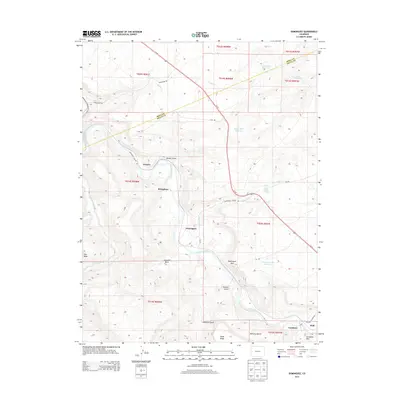
2013 Map of Dominguez
USGS Topo · Published 2013About this map
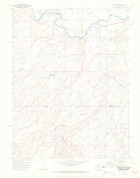
Gunnison River carving through the high desert of the Colorado plateau, this survey reveals a landscape of deep canyons and mesa tops defined by the Mesa Co Delta Co line. The settlement pattern is concentrated in the river valley and its adjacent benches, including Escalante and the small cluster at Dominguez. Transport across this difficult terrain is marked by Us 50 and historic routes like Dominguez Canyon Rd and Bridgeport Rd. Water management is central to the area's geography, evidenced by several small impoundments such as Dominguez Rim Reservoir and County Line Reservoir, which supported the livestock and small-scale agriculture at McCarty Bench and Huff. The map provides a detailed view of the names and landmarks that defined this transition between the mesas and the river bottom in the early 21st century.
Find a feature on this map
41 named features on this map. Tap any name to fly to it.
Don’t see what you’re looking for? This feature index may not catch every label — zoom into the map to look around manually.
Map Details
Editions of this 2013 Dominguez Map
This is the sole edition of this map. No revisions or reprints were ever made.
Other maps of this area

1956 · Moab
USGS Topo · 1:250,000

1959 · Moab
USGS Topo · 1:250,000

1960 · Moab
USGS Topo · 1:250,000

1962 · Moab
USGS Topo · 1:250,000

1964 · Moab
USGS Topo · 1:250,000

1965 · Moab
USGS Topo · 1:250,000
1965 · Point Creek
USGS Topo · 1:24,000
1965 · Indian Point
USGS Topo · 1:24,000
1969 · Whitewater
USGS Topo · 1:24,000
1969 · Roubideau
USGS Topo · 1:24,000