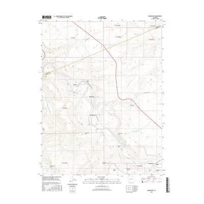
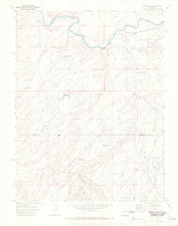
2016 Map of Dominguez
USGS Topo · Published 2016About this map
The Gunnison River carves a deep path through this landscape, creating a dramatic geography of high plateaus and steep canyon walls. Small settlements like Peeples, Broughton, and Dominguez are situated along the river valley and the base of the Dominguez Rim, illustrating the historic reliance on water access in this arid region. The map reveals a complex network of canyons and gulches, including Beaver Gulch and Wells Gulch, which drain the surrounding highlands toward the main river channel.
Find a feature on this map
42 named features on this map. Tap any name to fly to it.
Don’t see what you’re looking for? This feature index may not catch every label — zoom into the map to look around manually.
Map Details
Editions of this 2016 Dominguez Map
This is the sole edition of this map. No revisions or reprints were ever made.
Other maps of this area

1956 · Moab
USGS Topo · 1:250,000

1959 · Moab
USGS Topo · 1:250,000

1960 · Moab
USGS Topo · 1:250,000

1962 · Moab
USGS Topo · 1:250,000

1964 · Moab
USGS Topo · 1:250,000

1965 · Moab
USGS Topo · 1:250,000
1965 · Point Creek
USGS Topo · 1:24,000
1965 · Indian Point
USGS Topo · 1:24,000
1969 · Whitewater
USGS Topo · 1:24,000
1969 · Roubideau
USGS Topo · 1:24,000