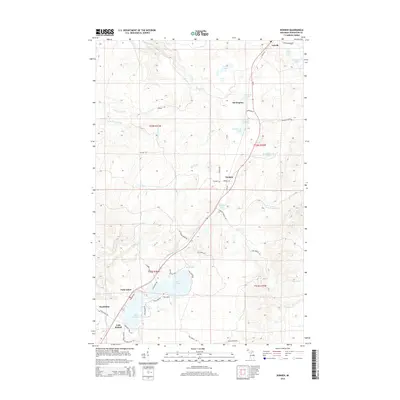
2014 Map of Donken
USGS Topo · Published 2014About this map
Twin Lakes and the adjacent Lake Roland anchor the southern reaches of this landscape, where the local road network like Parkside Dr and Lake Roland Rd reflects a transition from seasonal recreation to rural settlement. The northern territory is defined by the winding course of the Elm River and its various branches, including the Little Elm River, which snake through a high-elevation interior marked by scattered small lakes such as Morrison Lake and Seventeenmile Lake.
Find a feature on this map
50 named features on this map. Tap any name to fly to it.
Don’t see what you’re looking for? This feature index may not catch every label — zoom into the map to look around manually.
Map Details
Editions of this 2014 Donken Map
This is the sole edition of this map. No revisions or reprints were ever made.
Other maps of this area

1915 · Houghton
USGS Topo · 1:62,500

1946 · South Range
USGS Topo · 1:24,000

1948 · South Range
USGS Topo · 1:24,000

1954 · Graveraet River
USGS Topo · 1:24,000

1954 · Rockhouse Point
USGS Topo · 1:24,000

1954 · Pelkie
USGS Topo · 1:62,500

1954 · Winona
USGS Topo · 1:62,500

1954 · Houghton
USGS Topo · 1:62,500

1958 · Hancock
USGS Topo · 1:250,000

1958 · Iron River
USGS Topo · 1:250,000