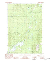
1982 Map of Donken
USGS Topo · Published 1983About this map
Mishwabic State Forest dominates this section of the Keweenaw Peninsula, where the landscape is defined by a dense network of glacial lakes and small settlements. The community of Donken sits centrally along the corridor between Toivola to the north and Wyandotte to the south. This area illustrates the late 20th-century character of the Copper Country after the height of the mining boom, focusing instead on timber resources and recreation.
Find a feature on this map
30 named features on this map. Tap any name to fly to it.
Don’t see what you’re looking for? This feature index may not catch every label — zoom into the map to look around manually.
Map Details
Editions of this 1982 Donken Map
This is the sole edition of this map. No revisions or reprints were ever made.
Other maps of this area
1915 · Houghton
USGS Topo · 1:62,500
1946 · South Range
USGS Topo · 1:24,000
1948 · South Range
USGS Topo · 1:24,000
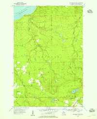
1954 · Graveraet River
USGS Topo · 1:24,000
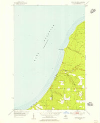
1954 · Rockhouse Point
USGS Topo · 1:24,000
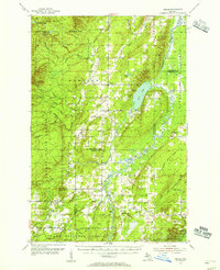
1954 · Pelkie
USGS Topo · 1:62,500
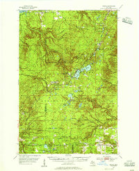
1954 · Winona
USGS Topo · 1:62,500
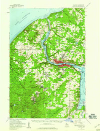
1954 · Houghton
USGS Topo · 1:62,500
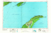
1958 · Hancock
USGS Topo · 1:250,000

1958 · Iron River
USGS Topo · 1:250,000