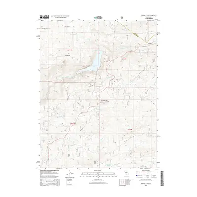
2015 Map of Donnell Lake
USGS Topo · Published 2015About this map
Donnell Lake and the Middle Fork Stanislaus River dominate this high-elevation landscape within the Stanislaus National Forest. The map documents a rugged drainage system characterized by steep canyons and prominent geological formations, such as Whittakers Dardanelles in the northwest and the granite massifs of Dome Rock and Double Dome Rock. Infrastructure is sparse, primarily consisting of a network of forest routes and the specialized engineering of the Donnell Tunnel.
Find a feature on this map
44 named features on this map. Tap any name to fly to it.
Don’t see what you’re looking for? This feature index may not catch every label — zoom into the map to look around manually.
Map Details
Editions of this 2015 Donnell Lake Map
This is the sole edition of this map. No revisions or reprints were ever made.
Other maps of this area

1891 · Big Trees
USGS Topo · 1:125,000

1894 · Big Trees
USGS Topo · 1:125,000

1896 · Dardanelles
USGS Topo · 1:125,000

1897 · Big Trees
USGS Topo · 1:125,000

1898 · Dardanelles
USGS Topo · 1:125,000

1901 · Big Trees
USGS Topo · 1:125,000

1947 · Sacramento
USGS Topo · 1:250,000

1948 · Walker Lake
USGS Topo · 1:250,000

1948 · Sacramento
USGS Topo · 1:250,000

1956 · Sacramento
USGS Topo · 1:250,000