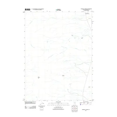
2011 Map of Donnelly Creek
USGS Topo · Published 2011About this map
States Ranch and Jackson Ranch anchor the eastern edges of this high-desert landscape in Humboldt County. This 2011 survey documents a topography defined by seasonal water sources and expansive basins, where drainages like Donnelly Creek and Cottonwood Creek descend toward the broad expanse of Jackass Flats. The rugged western portion is dominated by South Donnelly Peak, providing a stark vertical contrast to the surrounding drainage networks of North Fork Cow Creek and South Fork Cow Creek. Human infrastructure is sparse but notable, including the Soldier Meadow Number Two Airport in the northeast and established outposts like Finley Ranch. Vital water points such as Buck Springs, Government Spring, and Burro Spring illustrate the critical reliance on isolated springs for life and livestock in this arid Great Basin environment.
Find a feature on this map
17 named features on this map. Tap any name to fly to it.
Don’t see what you’re looking for? This feature index may not catch every label — zoom into the map to look around manually.
Map Details
Editions of this 2011 Donnelly Creek Map
This is the sole edition of this map. No revisions or reprints were ever made.
Other maps of this area

1886 · Granite Range
USGS Topo · 1:250,000
1889 · Long Valley
USGS Topo · 1:250,000

1894 · Granite Range
USGS Topo · 1:250,000

1954 · Vya
USGS Topo · 1:250,000

1955 · Lovelock
USGS Topo · 1:250,000

1958 · Vya
USGS Topo · 1:250,000

1959 · Lovelock
USGS Topo · 1:250,000

1962 · Vya
USGS Topo · 1:250,000
1979 · Double Hot Springs
USGS Topo · 1:24,000
1980 · Clapper Creek
USGS Topo · 1:24,000