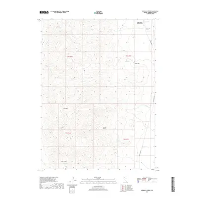
2018 Map of Donnelly Creek
USGS Topo · Published 2018About this map
South Donnelly Peak and the surrounding Calico Hills define this high-desert landscape in northern Nevada, where seasonal drainages like Donnelly Cr and Cottonwood Cr carve through the arid terrain. The map captures a network of remote natural water sources vital to the region's ranching and travel history, including Buck Springs, Sheep Spring, and Government Spring. A sense of the area's geological and human history is evident in the naming of Petrified Canyon and the presence of the Soldier Meadow Number 2 Airport, which serves this isolated reach of the Black Rock Desert. Modern access is represented by Soldier Meadows Rd, a primary corridor skirting Jackass Flats and providing a link through the canyons and basins of the Great Basin.
Find a feature on this map
22 named features on this map. Tap any name to fly to it.
Don’t see what you’re looking for? This feature index may not catch every label — zoom into the map to look around manually.
Map Details
Editions of this 2018 Donnelly Creek Map
This is the sole edition of this map. No revisions or reprints were ever made.
Other maps of this area

1886 · Granite Range
USGS Topo · 1:250,000
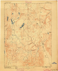
1889 · Long Valley
USGS Topo · 1:250,000

1894 · Granite Range
USGS Topo · 1:250,000

1954 · Vya
USGS Topo · 1:250,000

1955 · Lovelock
USGS Topo · 1:250,000

1958 · Vya
USGS Topo · 1:250,000

1959 · Lovelock
USGS Topo · 1:250,000

1962 · Vya
USGS Topo · 1:250,000
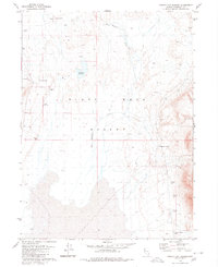
1979 · Double Hot Springs
USGS Topo · 1:24,000
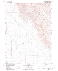
1980 · Clapper Creek
USGS Topo · 1:24,000