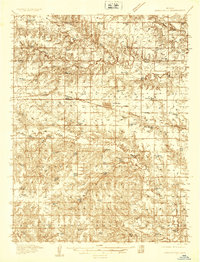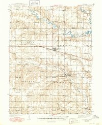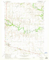
1964 Map of Dorchester
USGS Topo · Published 1965About this map
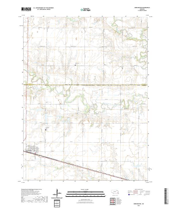
Dorchester serves as the primary hub on this mid-century survey, situated along the Chicago Burlington and Quincy railroad line. The landscape is defined by the convergence of the Big Blue River and the West Fork Big Blue River, which create a complex drainage network including Coon Creek and Squaw Creek. This period shows a rural landscape well-served by local institutions, with numerous country schools such as Blue Valley Sch, Star Sch, and Diamond Sch scattered across the townships.
Find a feature on this map
22 named features on this map. Tap any name to fly to it.
Don’t see what you’re looking for? This feature index may not catch every label — zoom into the map to look around manually.
Map Details
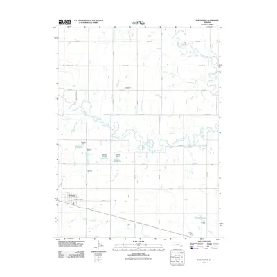
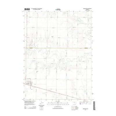
Editions of this 1964 Dorchester Map
This is the sole edition of this map. No revisions or reprints were ever made.
Historical Maps of Dorchester Through Time
7 maps found