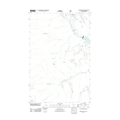
2011 Map of Doris Mountain
USGS Topo · Published 2011About this map
Hungry Horse Dam stands as a massive engineering presence where the South Fork Flathead River meets the Hungry Horse Reservoir. This mountainous terrain is defined by the steep rises of Columbia Mountain and Doris Mountain, with the landscape carved by a complex network of waterways including Aurora Creek and Silver Run Creek. Industrial history is recorded at sites like the West Virginia Mine and Foolsberg Mine, located near the sharp river bend at Devils Elbow. These labels suggest a history of resource extraction and civil engineering in a landscape that now emphasizes recreation, as seen at Lion Lake and the North Lion Lake Campground. The presence of multiple forest roads, such as the Doris Creek Rd, indicates the ongoing importance of access to this high-country environment.
Find a feature on this map
38 named features on this map. Tap any name to fly to it.
Don’t see what you’re looking for? This feature index may not catch every label — zoom into the map to look around manually.
Map Details
Editions of this 2011 Doris Mountain Map
This is the sole edition of this map. No revisions or reprints were ever made.
Other maps of this area

1914 · Nyack
USGS Topo · 1:125,000

1943 · Kalispell
USGS Topo · 1:125,000

1957 · Kalispell
USGS Topo · 1:250,000

1960 · Kalispell
USGS Topo · 1:250,000

1960 · Cut Bank
USGS Topo · 1:250,000

1961 · Kalispell
USGS Topo · 1:250,000

1962 · Columbia Falls South
USGS Topo · 1:24,000

1962 · Doris Mountain
USGS Topo · 1:24,000

1962 · Hungry Horse
USGS Topo · 1:24,000

1962 · Creston
USGS Topo · 1:24,000