
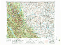
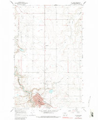
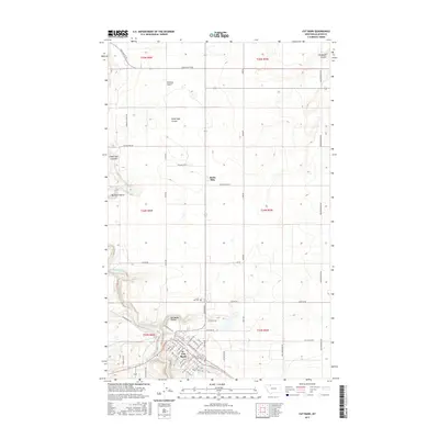
1960 Map of Cut Bank
USGS Topo · Published 1968About this map
The dramatic transition from high mountain peaks to the rolling plains of the Blackfeet Indian Reservation is documented in this 1960s study. The northern landscape is defined by the Continental Divide and the Hudson Bay Divide, marking the vital watershed where rivers like the Milk River and Cut Bank Creek begin their descent toward disparate oceans. The world-renowned Going-to-the-Sun Road traverses the heart of Glacier National Park, providing access to remote peaks and the shores of Lake McDonald.
Find a feature on this map
36 named features on this map. Tap any name to fly to it.
Don’t see what you’re looking for? This feature index may not catch every label — zoom into the map to look around manually.
Map Details
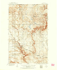
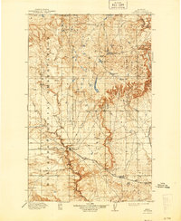
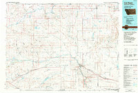
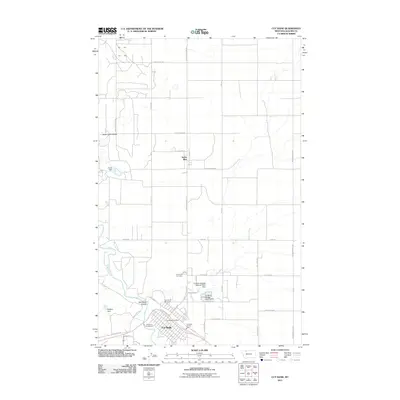
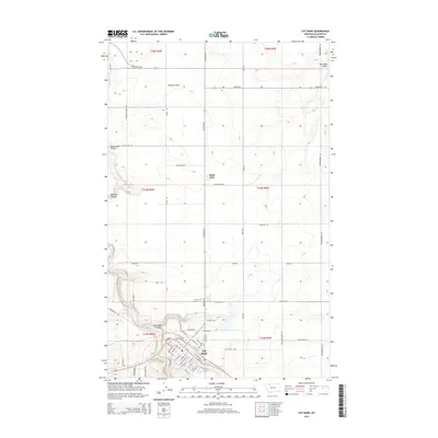
Editions of this 1960 Cut Bank Map
3 editions found
Historical Maps of Cut Bank Through Time
12 maps found
1909 Cut Bank
Glacier County, MT
1912 Cut Bank
Glacier County, MT
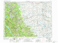
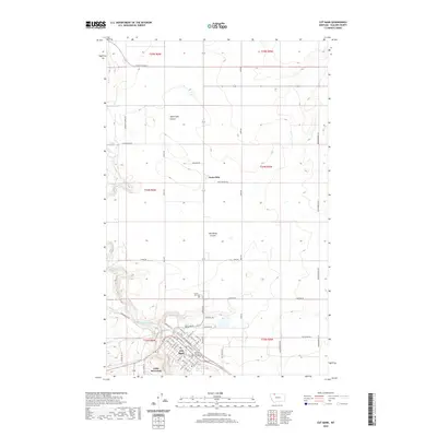
1960 Cut Bank
Glacier County, MT

1963 Cut Bank
Glacier County, MT

1964 Cut Bank
Glacier County, MT
1966 Cut Bank
Glacier County, MT
1984 Cut Bank
Glacier County, MT
2011 Cut Bank
Glacier County, MT
2014 Cut Bank
Glacier County, MT
2017 Cut Bank
Glacier County, MT
2020 Cut Bank
Glacier County, MT
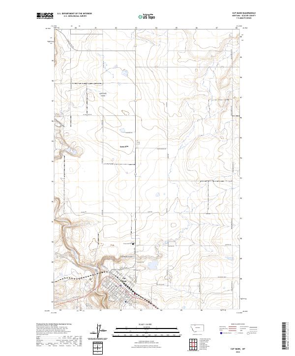
2024 Cut Bank
Glacier County, MT