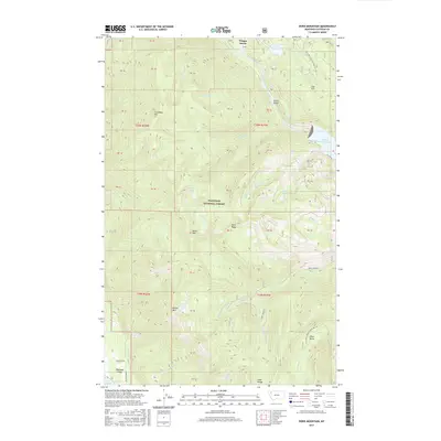
2017 Map of Doris Mountain
USGS Topo · Published 2017About this map
Flathead National Forest dominates this mountain landscape, which is defined by the high peaks of the Swan Range. The northeast corner is marked by the expansive Hungry Horse Reservoir, fed by the South Fork Flathead River as it winds past the distinctive Devils Elbow. Higher elevations are punctuated by several summits, including Columbia Mtn, Doris Mtn, and Blaine Mtn, while the western edge transitions into the Flathead Valley near Lake Blaine. The drainage patterns here are intricate, with several alpine water bodies like Jenny Lake, Doris Lakes, and Alpha Lake tucked into the ridges. Access is largely limited to forest development corridors such as Doris Creek Rd and Beartrap Rd, illustrating the wild character of this territory in the 21st century.
Find a feature on this map
47 named features on this map. Tap any name to fly to it.
Don’t see what you’re looking for? This feature index may not catch every label — zoom into the map to look around manually.
Map Details
Editions of this 2017 Doris Mountain Map
This is the sole edition of this map. No revisions or reprints were ever made.
Other maps of this area
1914 · Nyack
USGS Topo · 1:125,000
1943 · Kalispell
USGS Topo · 1:125,000

1957 · Kalispell
USGS Topo · 1:250,000

1960 · Kalispell
USGS Topo · 1:250,000
1960 · Cut Bank
USGS Topo · 1:250,000

1961 · Kalispell
USGS Topo · 1:250,000
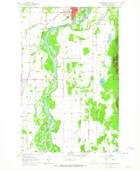
1962 · Columbia Falls South
USGS Topo · 1:24,000
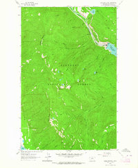
1962 · Doris Mountain
USGS Topo · 1:24,000
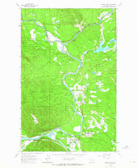
1962 · Hungry Horse
USGS Topo · 1:24,000
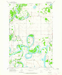
1962 · Creston
USGS Topo · 1:24,000