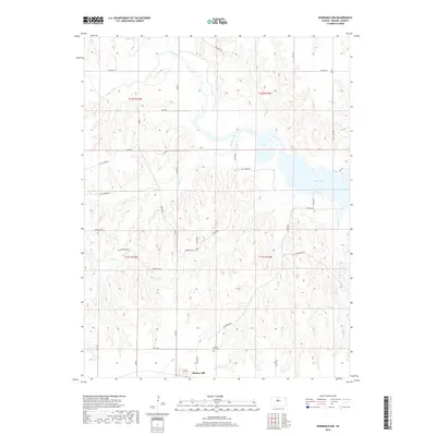
2018 Map of Dorrance NW
USGS Topo · Published 2018About this map
Bunker Hill sits at the southern edge of this landscape, serving as a focal point for the surrounding rural terrain of Russell County. The northern reaches are defined by the winding course of the Saline River, while the eastern portion of the map captures the expansive waters of Wilson Lake. The topography is etched by numerous drainage systems including Cedar Cr and Elm Cr, which feed into the larger reservoir system. This 2018 survey illustrates the modern road network that services the reservoir area, such as Shoreline Rd and Resevoir Rd. Genealogists and local historians will find the Bunker Hill Cem north of the town center, a key site for documenting the area's residents. The map's layout highlights the transition from the structured town grid of Bunker Hill to the irregular, dissected plains leading toward the Saline River valley.
Find a feature on this map
25 named features on this map. Tap any name to fly to it.
Don’t see what you’re looking for? This feature index may not catch every label — zoom into the map to look around manually.
Map Details
Editions of this 2018 Dorrance NW Map
This is the sole edition of this map. No revisions or reprints were ever made.
Other maps of this area

1896 · Osborne
USGS Topo · 1:125,000

1896 · Russell
USGS Topo · 1:125,000

1955 · Great Bend
USGS Topo · 1:250,000

1955 · Beloit
USGS Topo · 1:250,000

1956 · Dorrance
USGS Topo · 1:24,000

1956 · Dorrance SW
USGS Topo · 1:24,000

1957 · Great Bend
USGS Topo · 1:250,000

1958 · Great Bend
USGS Topo · 1:250,000

1959 · Beloit
USGS Topo · 1:250,000

1961 · Homer
USGS Topo · 1:24,000