
1956 Map of Dorrance SW
USGS Topo · Published 1958About this map
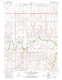
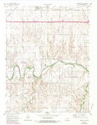
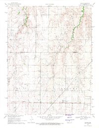
Bunker Hill sits at the northern edge of this Kansas landscape, positioned along the Union Pacific railroad corridor. The terrain is defined by the winding course of the Smoky Hill River, which cuts through the southern half of the map, fed by tributaries like Goose Creek and Beaver Creek. This mid-century survey captures a rural landscape in transition, where established community hubs like the Blooming Grove Cem and Hyde Park Cem persist alongside the industrial footprints of local Oil Field activity. Educational history is remarkably well-documented here, showing several rural school sites including Four Corners Sch, Center View Sch, and the notably marked Trapp Sch (Abandoned). The presence of these small schools and cemeteries within the Center and Fairfield townships provides a clear view of the mid-20th-century social geography of Russell County.
Find a feature on this map
14 named features on this map. Tap any name to fly to it.
Don’t see what you’re looking for? This feature index may not catch every label — zoom into the map to look around manually.
Map Details
Editions of this 1956 Dorrance SW Map
3 editions found
Other maps of this area

1896 · Russell
USGS Topo · 1:125,000

1955 · Great Bend
USGS Topo · 1:250,000

1956 · Dorrance
USGS Topo · 1:24,000

1957 · Great Bend
USGS Topo · 1:250,000

1958 · Great Bend
USGS Topo · 1:250,000

1961 · Homer
USGS Topo · 1:24,000
1967 · Dorrance NW
USGS Topo · 1:24,000

1967 · Russell
USGS Topo · 1:24,000
1967 · Dorrance NE
USGS Topo · 1:24,000
1969 · Beaver
USGS Topo · 1:24,000