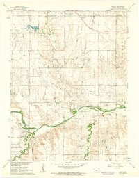
1956 Map of Dorrance SW
USGS Topo · Published 1980About this map
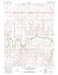
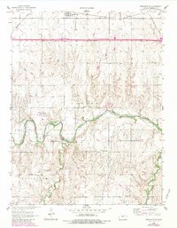
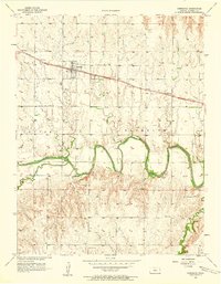
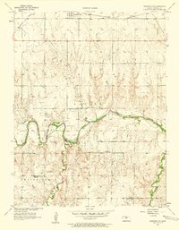
Bunker Hill sits along the northern edge of this Kansas landscape, positioned where the Union Pacific railroad and highways 40 and 70 traverse the plains. The terrain is defined by the winding course of the Smoky Hill River, which cuts deep meanders through the central and southern portions of the quadrangle. This river valley separates the township areas of Center and Fairfield, creating a complex network of drainage patterns including Beaver Creek.
Find a feature on this map
11 named features on this map. Tap any name to fly to it.
Don’t see what you’re looking for? This feature index may not catch every label — zoom into the map to look around manually.
Map Details
Editions of this 1956 Dorrance SW Map
3 editions found
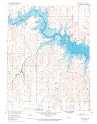
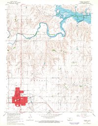
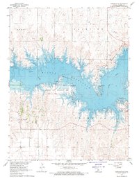
Other maps of this area

1896 · Russell
USGS Topo · 1:125,000

1955 · Great Bend
USGS Topo · 1:250,000
1956 · Dorrance
USGS Topo · 1:24,000
1956 · Dorrance SW
USGS Topo · 1:24,000

1957 · Great Bend
USGS Topo · 1:250,000

1958 · Great Bend
USGS Topo · 1:250,000
1961 · Homer
USGS Topo · 1:24,000
1967 · Dorrance NW
USGS Topo · 1:24,000
1967 · Russell
USGS Topo · 1:24,000
1967 · Dorrance NE
USGS Topo · 1:24,000