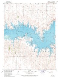
1967 Map of Dorrance NE
USGS Topo · Published 1970About this map
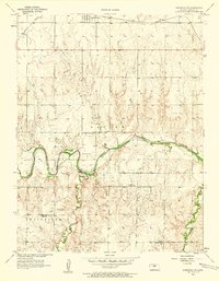
Wilson Reservoir dominates the landscape of this 1967 survey, where the waters of the Saline River are impounded within the rugged draws and breaks of central Kansas. This survey represents the area shortly after the reservoir was created as part of the Department of the Interior's Missouri River Basin development, showing the normal pool elevation 1516 and the newly established recreation infrastructure. The map details the transition of the land from rural township sections like Luray, Fairview, and Plymouth to a managed public space, featuring the Minooka Park Recreation Area, Lucas Park, and Wilson State Park. For those researching land use, several quarries remain marked on the southern uplands, and a Landing Strip is positioned along the northern shore, highlighting the mid-century integration of air travel and regional water management.
Find a feature on this map
15 named features on this map. Tap any name to fly to it.
Don’t see what you’re looking for? This feature index may not catch every label — zoom into the map to look around manually.
Map Details
Editions of this 1967 Dorrance NE Map
This is the sole edition of this map. No revisions or reprints were ever made.
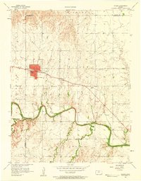
Other maps of this area
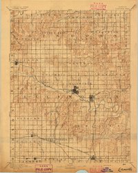
1894 · Ellsworth
USGS Topo · 1:125,000

1894 · Beloit
USGS Topo · 1:125,000

1896 · Osborne
USGS Topo · 1:125,000

1896 · Russell
USGS Topo · 1:125,000

1955 · Great Bend
USGS Topo · 1:250,000

1955 · Beloit
USGS Topo · 1:250,000
1956 · Wilson
USGS Topo · 1:24,000
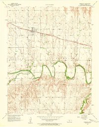
1956 · Dorrance
USGS Topo · 1:24,000
1956 · Dorrance SW
USGS Topo · 1:24,000

1957 · Great Bend
USGS Topo · 1:250,000