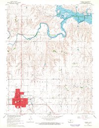
1967 Map of Russell
USGS Topo · Published 1968About this map
The Union Pacific corridor anchors this portion of Russell County, where the plains give way to the dissected valleys of the Saline River and Paradise Creek. In the late 1960s, the landscape reflects a transition toward modern infrastructure with the inundation of the Wilson Reservoir, while the town of Russell remains a concentrated hub of civic and educational life. The map identifies specific neighborhood institutions including Bickerdyke Sch, Simpson Sch, and Courtside Sch, alongside essential services like the Waterworks, Sewage Disposal, and the Russell Municipal Airport. Beyond the town limits, the geography is defined by resource extraction and communication, evidenced by scattered Oil Wells and the Radio Tower (KRSL). The detailed surveying of fence and field lines, noted in the margin as visible via aerial photography, provides a precise look at mid-century agricultural boundaries.
Find a feature on this map
33 named features on this map. Tap any name to fly to it.
Don’t see what you’re looking for? This feature index may not catch every label — zoom into the map to look around manually.
Map Details
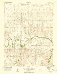
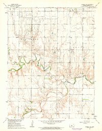
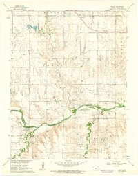
Editions of this 1967 Russell Map
This is the sole edition of this map. No revisions or reprints were ever made.
Other maps of this area

1896 · Osborne
USGS Topo · 1:125,000

1896 · Russell
USGS Topo · 1:125,000

1955 · Great Bend
USGS Topo · 1:250,000

1955 · Beloit
USGS Topo · 1:250,000
1956 · Dorrance SW
USGS Topo · 1:24,000

1957 · Great Bend
USGS Topo · 1:250,000

1958 · Great Bend
USGS Topo · 1:250,000

1959 · Beloit
USGS Topo · 1:250,000
1961 · Russell SW
USGS Topo · 1:24,000
1961 · Homer
USGS Topo · 1:24,000