
1961 Map of Russell SW
USGS Topo · Published 1962About this map
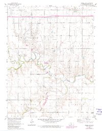
The Smoky Hill River meanders across the southern portion of this landscape, its path defined by numerous sandpits and gravel pits that line its banks. This 1961 field-checked survey reveals an era of active extraction and rural development in Russell County, where an extensive Oil Field and scattered Oil Wells indicate the subterranean economy of the mid-20th century. A Pumping Station stands as a testament to the industrial infrastructure supporting this energy production.
Find a feature on this map
21 named features on this map. Tap any name to fly to it.
Don’t see what you’re looking for? This feature index may not catch every label — zoom into the map to look around manually.
Map Details
Editions of this 1961 Russell SW Map
2 editions found
Other maps of this area

1896 · Russell
USGS Topo · 1:125,000

1896 · Hays
USGS Topo · 1:125,000

1955 · Great Bend
USGS Topo · 1:250,000

1957 · Great Bend
USGS Topo · 1:250,000

1958 · Great Bend
USGS Topo · 1:250,000
1961 · Walker
USGS Topo · 1:24,000

1961 · Homer
USGS Topo · 1:24,000

1967 · Russell NW
USGS Topo · 1:24,000

1967 · Russell
USGS Topo · 1:24,000
1967 · Gorham
USGS Topo · 1:24,000