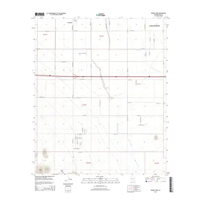
2014 Map of Double Peak
USGS Topo · Published 2014About this map
Stanfield and the western edge of Casa Grande anchor this landscape, where the agricultural grid of Pinal County meets the natural desert drainage of the Santa Rosa Wash. The map documents a highly structured rural environment defined by irrigation and aviation, featuring the Carranza Farm Airstrip and the Potters Field area. The southern portion of the sheet transitions into more varied terrain near the Vaiva Hills and the prominent landmark of Double Peak, providing a clear look at the intersection of cultivated farmland and the desert floor. Numerous local roads, such as W Peters Rd and S Stanfield Rd, reveal the extent of the mid-20th-century development across this section of the Arizona desert during a period of continued regional growth.
Find a feature on this map
44 named features on this map. Tap any name to fly to it.
Don’t see what you’re looking for? This feature index may not catch every label — zoom into the map to look around manually.
Map Details
Editions of this 2014 Double Peak Map
This is the sole edition of this map. No revisions or reprints were ever made.
Other maps of this area

1922 · Casa Grande
USGS Topo · 1:62,500

1924 · Casa Grande
USGS Topo · 1:62,500

1941 · Vekol Mountains
USGS Topo · 1:62,500

1942 · Silver Reef Mountains
USGS Topo · 1:62,500

1942 · Vekol Mountains
USGS Topo · 1:62,500

1946 · Antelope Peak
USGS Topo · 1:62,500

1948 · Antelope Peak
USGS Topo · 1:62,500

1953 · Ajo
USGS Topo · 1:250,000

1956 · Tucson
USGS Topo · 1:250,000

1957 · Ajo
USGS Topo · 1:250,000