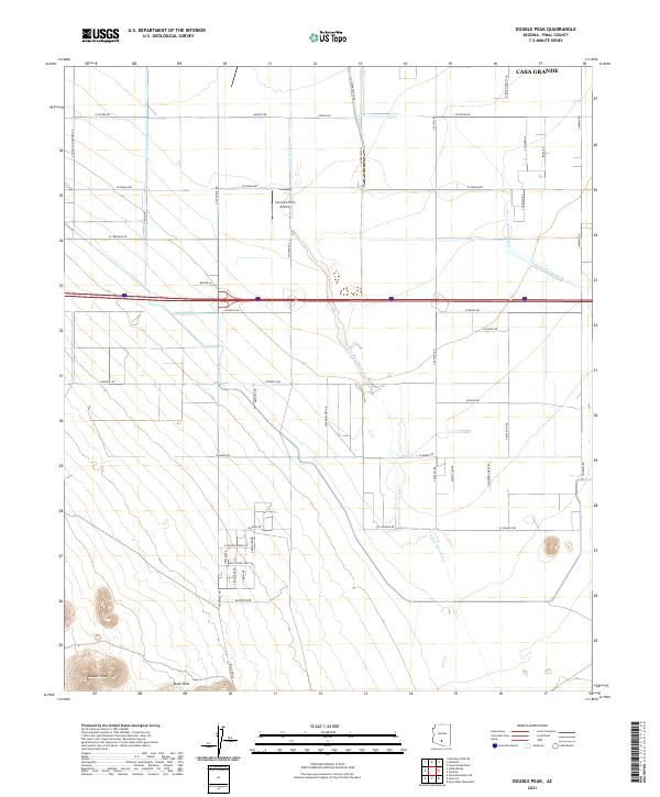
2021 Map of Double Peak
USGS Topo · Published 2021About this map
Vaiva Hills anchor the southwestern corner of this desert landscape, where the elevation rises sharply toward the namesake Double Peak. This Pinal County terrain is defined by the broad, braided channels of the Santa Rosa Wash and Greene Wash, which cut through a grid of agricultural and rural development south of Casa Grande. The map reveals a highly structured landscape of section-line roads and irrigation-dependent fields, characterized by specialized infrastructure like the Carranza Farm Airstrip. The pattern of settlements and road names, such as W Hitching Post Rd and Quarter Horse Rd, suggests a region deeply tied to ranching and farming operations. This modern survey captures the persistence of the traditional desert-agriculture model in the face of the arid Arizona environment.
Find a feature on this map
53 named features on this map. Tap any name to fly to it.
Don’t see what you’re looking for? This feature index may not catch every label — zoom into the map to look around manually.
Map Details
Editions of this 2021 Double Peak Map
This is the sole edition of this map. No revisions or reprints were ever made.
Other maps of this area

1922 · Casa Grande
USGS Topo · 1:62,500

1924 · Casa Grande
USGS Topo · 1:62,500

1941 · Vekol Mountains
USGS Topo · 1:62,500

1942 · Silver Reef Mountains
USGS Topo · 1:62,500

1942 · Vekol Mountains
USGS Topo · 1:62,500

1946 · Antelope Peak
USGS Topo · 1:62,500

1948 · Antelope Peak
USGS Topo · 1:62,500

1953 · Ajo
USGS Topo · 1:250,000

1956 · Tucson
USGS Topo · 1:250,000

1957 · Ajo
USGS Topo · 1:250,000