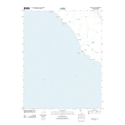
2012 Map of Double Point
USGS Topo · Published 2012About this map
Double Point anchors this coastal survey, where the Pacific shoreline meets a complex system of freshwater lakes and steep drainage gulches. The terrain is defined by its dramatic transition from high ridges like Firtop down to the water, featuring unique geological and hydrological markers such as Stormy Stack and Alamere Falls. This 2012 data shows a landscape largely preserved for recreation and natural study, with Glen Campground and Wildcat Camp serving as the primary inland hubs for those navigating the area between Bear Valley and Abalone Point.
Find a feature on this map
25 named features on this map. Tap any name to fly to it.
Don’t see what you’re looking for? This feature index may not catch every label — zoom into the map to look around manually.
Map Details
Editions of this 2012 Double Point Map
This is the sole edition of this map. No revisions or reprints were ever made.
Other maps of this area

1897 · Tamalpais
USGS Topo · 1:62,500

1914 · Petaluma
USGS Topo · 1:62,500

1916 · Point Reyes
USGS Topo · 1:48,000

1918 · Point Reyes
USGS Topo · 1:62,500

1941 · Tamalpais
USGS Topo · 1:62,500

1942 · Petaluma
USGS Topo · 1:62,500

1947 · Santa Rosa
USGS Topo · 1:250,000

1947 · San Francisco
USGS Topo · 1:250,000

1948 · San Francisco
USGS Topo · 1:250,000

1949 · Santa Rosa
USGS Topo · 1:250,000