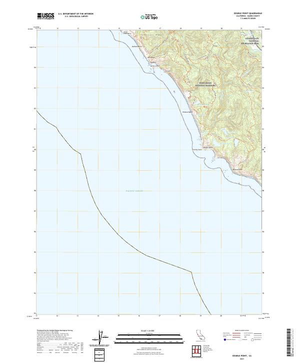
2021 Map of Double Point
USGS Topo · Published 2021About this map
Point Reyes National Seashore and its intricate network of wilderness trails define this coastal landscape. Rising sharply from the Pacific Ocean, Inverness Ridge serves as the backbone for numerous hiking routes such as the Coast Trail North and Ridge Trl. The coastal interface is particularly detailed, featuring dramatic landmarks like Arch Rock, the isolated Stormy Stack, and the seasonal Alamere Falls where water drops directly toward the surf.
Find a feature on this map
42 named features on this map. Tap any name to fly to it.
Don’t see what you’re looking for? This feature index may not catch every label — zoom into the map to look around manually.
Map Details
Editions of this 2021 Double Point Map
This is the sole edition of this map. No revisions or reprints were ever made.
Other maps of this area

1897 · Tamalpais
USGS Topo · 1:62,500

1914 · Petaluma
USGS Topo · 1:62,500

1916 · Point Reyes
USGS Topo · 1:48,000

1918 · Point Reyes
USGS Topo · 1:62,500

1941 · Tamalpais
USGS Topo · 1:62,500

1942 · Petaluma
USGS Topo · 1:62,500

1947 · Santa Rosa
USGS Topo · 1:250,000

1947 · San Francisco
USGS Topo · 1:250,000

1948 · San Francisco
USGS Topo · 1:250,000

1949 · Santa Rosa
USGS Topo · 1:250,000