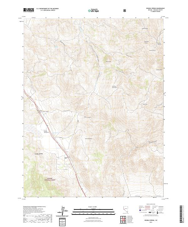
2021 Map of Double Spring
USGS Topo · Published 2021About this map
The Pine Nut Mountains dominate this high-desert landscape in Douglas County, where the terrain is carved by a complex network of canyons and flats. The settlement of Double Spring and the adjacent Double Spring Flat serve as central landmarks along the main transport corridor, flanked by the heights of Bald Mtn and Granite Peak. To the south, the boundary of the Toiyabe National Forest indicates protected federal lands, while high meadows such as Brown Meadows and the curiously named Dead Horse Flat suggest the seasonal grazing or transit routes once common in this part of Nevada.
Find a feature on this map
35 named features on this map. Tap any name to fly to it.
Don’t see what you’re looking for? This feature index may not catch every label — zoom into the map to look around manually.
Map Details
Editions of this 2021 Double Spring Map
This is the sole edition of this map. No revisions or reprints were ever made.
Other maps of this area

1889 · Markleeville
USGS Topo · 1:125,000

1891 · Markleeville
USGS Topo · 1:125,000

1891 · Wellington
USGS Topo · 1:125,000

1893 · Markleeville
USGS Topo · 1:125,000

1893 · Wellington
USGS Topo · 1:125,000

1948 · Walker Lake
USGS Topo · 1:250,000

1956 · Desert Creek Peak
USGS Topo · 1:62,500

1956 · Topaz Lake
USGS Topo · 1:62,500

1957 · Walker Lake
USGS Topo · 1:250,000

1957 · Wellington
USGS Topo · 1:62,500