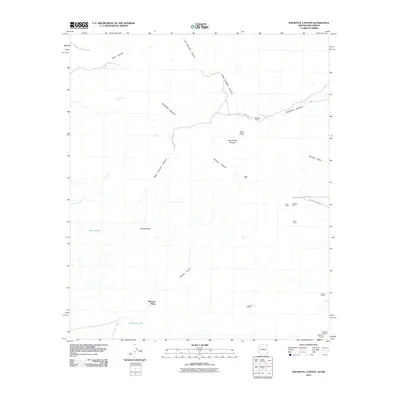
2010 Map of Doubtful Canyon
USGS Topo · Published 2010About this map
Steins Peak Range dominates this corner of the Arizona-New Mexico border, where mining prospects and ranching outposts define the desert landscape. The map details a legacy of extraction near the Peloncillo Mountains, featuring the National Mine, Eloro Mine, and Volcano Mine, alongside the Buckhorn Prospect and Mayflower Prospect. These sites are linked by rugged tracks like Volcano Mine Rd and Gas Line Rd, which trace the difficult topography of the region.
Find a feature on this map
26 named features on this map. Tap any name to fly to it.
Don’t see what you’re looking for? This feature index may not catch every label — zoom into the map to look around manually.
Map Details
Editions of this 2010 Doubtful Canyon Map
This is the sole edition of this map. No revisions or reprints were ever made.
Other maps of this area

1917 · San Simon
USGS Topo · 1:125,000

1926 · Orange Butte
USGS Topo · 1:62,500

1928 · Chenoweth
USGS Topo · 1:62,500

1950 · San Simon
USGS Topo · 1:62,500

1950 · Vanar
USGS Topo · 1:62,500

1951 · Vanar
USGS Topo · 1:62,500

1951 · San Simon
USGS Topo · 1:62,500

1954 · Silver City
USGS Topo · 1:250,000

1958 · Silver City
USGS Topo · 1:250,000

1962 · Silver City
USGS Topo · 1:250,000