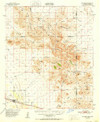
1951 Map of San Simon
USGS Topo · Published 1951About this map
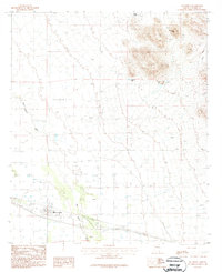
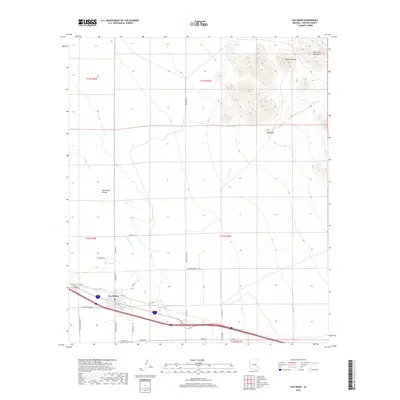
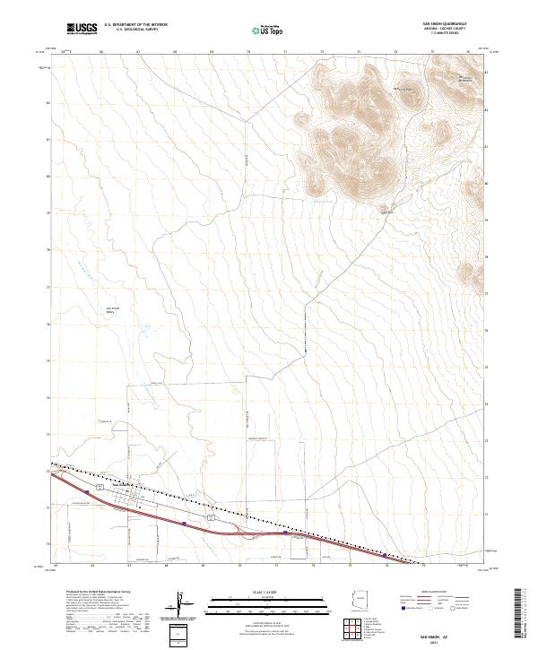
San Simon serves as the central hub of this mid-century desert landscape, situated along the Southern Pacific railroad and the modern highway. The map captures a high-desert environment defined by the Peloncillo Mountains, where the state boundary between Arizona and New Mexico cuts through high ridges and deep canyons like Doubtful Canyon. Evidence of the region's rugged transport history is visible at the Old Stage Station (Ruins) and the lone Giddings Grave near the base of Steins Peak.
Find a feature on this map
75 named features on this map. Tap any name to fly to it.
Don’t see what you’re looking for? This feature index may not catch every label — zoom into the map to look around manually.
Map Details
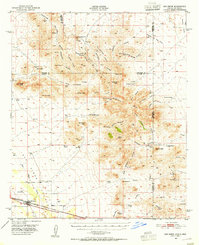
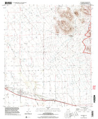
Editions of this 1951 San Simon Map
This is the sole edition of this map. No revisions or reprints were ever made.
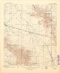
Historical Maps of San Simon Through Time
10 maps found
1917 San Simon
Cochise County, AZ
1950 San Simon
Cochise County, AZ
1951 San Simon
Cochise County, AZ
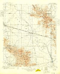
1962 San Simon
Cochise County, AZ
1987 San Simon
Cochise County, AZ
1998 San Simon
Cochise County, AZ
2011 San Simon
Cochise County, AZ
2014 San Simon
Cochise County, AZ
2018 San Simon
Cochise County, AZ
2021 San Simon
Cochise County, AZ