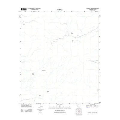
2011 Map of Doubtful Canyon
USGS Topo · Published 2011About this map
Steins Peak and the Steins Peak Range dominate this high-desert landscape on the border of Arizona and New Mexico. The terrain is defined by a series of deep drainage systems, most notably Doubtful Canyon, which is tracked by the arterial Doubtful Canyon Rd. These corridors have long served as vital passage points through the arid mountains, evidenced by the presence of isolated settlements and water sources like Braidfoot Ranch and Canteen Spring. In the southern reaches, the distinctive Roostercomb ridge stands above Powers Canyon and Wheeler Place, while seasonal hydrology is captured at McKenzie Tank. The network of local routes, including Volcano Mine Rd and Gas Line Rd, indicates the ongoing importance of resource extraction and infrastructure in this remote section of Cochise County.
Find a feature on this map
20 named features on this map. Tap any name to fly to it.
Don’t see what you’re looking for? This feature index may not catch every label — zoom into the map to look around manually.
Map Details
Editions of this 2011 Doubtful Canyon Map
This is the sole edition of this map. No revisions or reprints were ever made.
Other maps of this area

1917 · San Simon
USGS Topo · 1:125,000

1926 · Orange Butte
USGS Topo · 1:62,500

1928 · Chenoweth
USGS Topo · 1:62,500

1950 · San Simon
USGS Topo · 1:62,500

1950 · Vanar
USGS Topo · 1:62,500

1951 · Vanar
USGS Topo · 1:62,500

1951 · San Simon
USGS Topo · 1:62,500

1954 · Silver City
USGS Topo · 1:250,000

1958 · Silver City
USGS Topo · 1:250,000

1962 · Silver City
USGS Topo · 1:250,000